Share This Story, Choose Your Platform!
As technology continues to improve, new ways to apply it are being implemented across all industries to provide better service for customers. The commercial property services sector is no exception. The latest tech to help property managers make decisions is drone inspections. These digital property surveys are helping guide management decisions, improving performance and profitability.
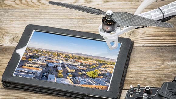
More than just aerial images, the data points provided by professionally piloted drone surveys continue to impress. Paired with sophisticated software, aerial drone footage enables property managers to work efficiently and effectively with single properties or across entire portfolios.
Drones receive most of the attention, but the behind-the-scenes software is the real star. The post-flight processing of the data can identify topography, building elevations, contour lines, breaklines, and even changes in slope. The ability to provide this important data depends on the software quality, which can cost hundreds of dollars to tens of thousands. A professional drone operation will have invested in a higher-end program.
Sophisticated software will also have the ability to process thousands of measurements, adjust for 2-D image distortion, generate geolocation tags, and provide accurate horizontal and vertical measurements. Accumulating and processing these data points accurately can provide valuable information for important property management decisions.


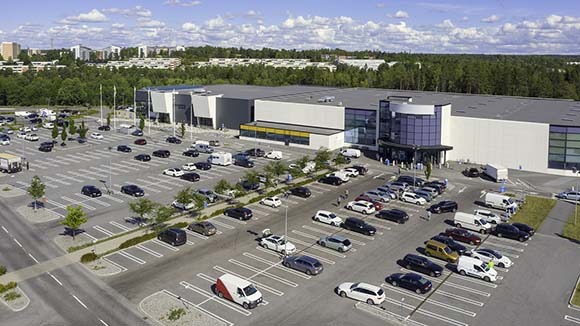
Drone inspections provide a “big picture” overview to aid facility manager planning. Aerial footage can effectively capture areas such as property boundaries, landscape, rooftops, exterior walls, storefronts, parking lots, and hazardous zones. Difficult access points can also be inspected up close, such as facades, signs, and high vertical surfaces. Drones have also been used to detect vandalism, graffiti, dumping, and illegal encampments.
With high quality equipment, measurements can be as accurate as +/- one centimeter and produced in a much shorter time than traditional methods. This can greatly reduce the cost of labor and human error for surveying properties. It also provides easier access to survey locations that may be difficult to reach.
Identifying maintenance needs is another area in which drone inspections can save money. Troubleshooting HVAC equipment, spotting rooftop water pools, and repairing solar panels in a timely manner can help management teams reduce property expenses.
A comprehensive aerial inspection can establish the baseline condition of a property for better risk assessment. Accurate aerial property surveys can also increase real estate valuations by putting all property assets into perspective. Realtors, bankers, buyers, and sellers are relying more and more on drone property inspections to support appraised values.
In the digital era, people have become accustomed to having information at their fingertips. Cloud-based aerial drone footage can be viewed online. Digital video files can be saved, archived, or shared easily. Access is 24 hours a day, 7 days a week.
Liability protection is another important benefit of aerial drone inspections.
The first step is to accurately identify problems and perform repairs in a timely manner to reduce the number of accidents occurring on a property. Overhead views can identify problem areas. Liabilities such as trip and fall hazards, unsafe zones, and parking lot potholes may not be as noticeable at ground level but become obvious at higher elevations.
An aerial inspection can also provide an evidential timestamped video of property conditions, which can prove invaluable to insurance companies and litigators. Regularly scheduled drone inspections provide an ongoing record of property conditions and proof of maintenance.


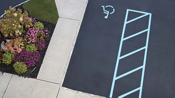
Drone coverage can also help with ADA compliance and lawsuits. Not identifying and repairing ADA accessibility issues can bring devastating financial losses to a business. Overview footage can be used to identify problem hotspots and target them for remediation prior to any lawsuit filing or code violation.
If interested in ordering an aerial drone inspection for your property, you might start with the company that provides your property services. They tend to know your property the best and can likely refer you to the best source in your area.
Aerial drone inspections make sense on so many levels. Property managers are as good as the quality of information they receive. Providing better tools results in better outcomes. Drones generate comprehensive information that can help management make informed decisions, avoid serious losses, and save money.
